
"Houston Drone Pros captured our commercial roof inspection perfectly. The footage saved us thousands in potential repair costs."
M
Marcus T.
Facility Manager
FAA Part 107 Certified • Fully Insured
Flat-Rate Pricing. FAA Certified.
Fast Turnaround.
Flat-Rate Pricing
Simple pricing. No hidden fees. No waiting for a quote.
Single Flight Mission
Single Drone Flight For Fast Aerial Photos or Video.
INDUSTRY SPECIFIC
Advanced Project Documentation or Multiple Flights.
Houston Drone Services
FAA Part 107 certified pilots delivering aerial photography, drone video, and inspection services across Greater Houston — flat-rate pricing, no quote required.
High-resolution aerial photography for residential, commercial, and industrial sites. Crisp, color-corrected stills ready for marketing, documentation, and reporting.
Cinematic 4K drone video — property flyovers, site tours, and promotional aerial video delivered polished and ready to share.
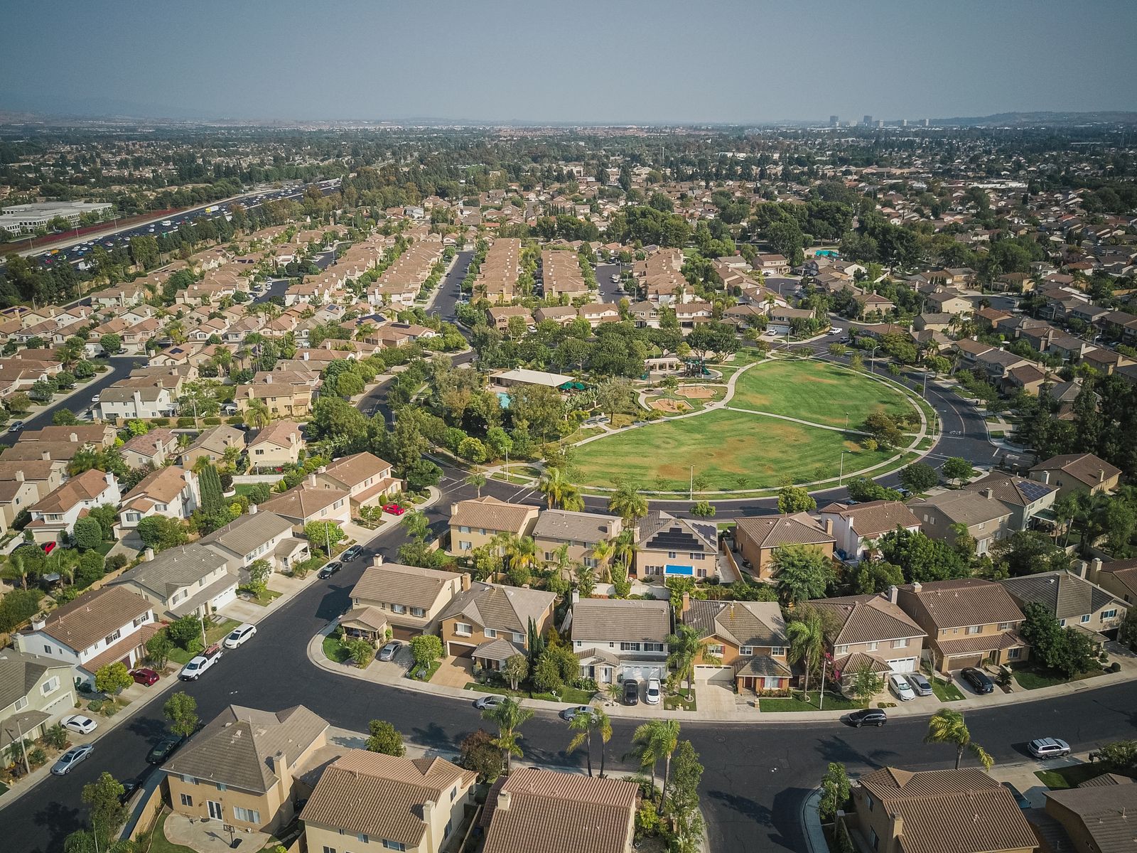
Real estate drone photography and video that help Houston listings stand out — homes, acreage, land tracts, and new development marketing.
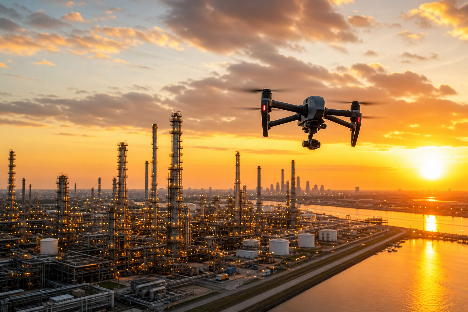
Commercial drone services for industrial facilities, refineries, and energy utilities — compliant, insured aerial documentation across Greater Houston.
Scheduled aerial photo and video sets to document construction progress over time — consistent angles, clear deliverables for owners and stakeholders.
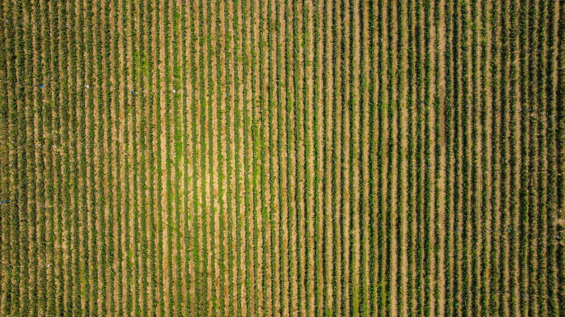
Safe, close-up roof inspections, bridge and infrastructure imagery, and agriculture and land mapping without scaffolding or lifts.
Simple 3-Step Process
From booking to delivery — here's exactly what happens.
Pick a package, pick a date, tell us about the site. Takes under two minutes.
Our FAA Part 107 pilots arrive, fly, and capture your aerial footage.
Color-corrected photos and polished video delivered straight to your inbox — most within 48 hours.
Recent Work
Recent drone photography and video across industrial, commercial, and residential projects.
Why Choose Us
Local expertise, professional equipment, and a commitment to clear, flat-rate pricing since 2018.
Licensed commercial drone pilots for legal, safe operations.
Liability coverage for every flight, every site.
Book online and get on the calendar quickly.
Color-corrected photos and polished video deliverables.
Crisp 4K imagery ready for marketing and documentation.
Local coverage across Houston and surrounding counties.
Most projects delivered within 48 hours.
No hidden fees. No waiting for a quote.
Client Reviews
Real feedback from the folks we've flown for.
"Houston Drone Pros captured our commercial roof inspection perfectly. The footage saved us thousands in potential repair costs."
Marcus T.
Facility Manager
"The real estate photos sold our listing in four days. Fast, professional, and the video was stunning."
Diana R.
Realtor, Katy
"Showed up on time, flew the site safely, and delivered everything within 48 hours. Exactly what they promised."
Carlos M.
Construction Supervisor
Greater Houston Coverage
Houston Drone Pros serves Greater Houston and surrounding counties. Whether your project is in the city, on the coast, or in an industrial corridor, we come to you.
Pick your package and tell us about your project. We’ll confirm your flight quickly.
Houston Drone Pros FAQ
Straight answers on pricing, certifications, turnaround, and the Houston areas we fly.
Houston Drone Pros uses transparent flat-rate pricing: the Quick Capture package is $199 for a single drone flight, and Advanced Coverage is $399 for industry-specific or multi-flight projects. There are no hidden fees and no waiting for a quote.
Yes. Every pilot is FAA Part 107 certified and fully insured for commercial UAS operations, so your aerial photography and video are captured legally and safely.
We serve Greater Houston and the surrounding counties, including Harris, Fort Bend, Brazoria, Galveston, Montgomery, Liberty, Chambers, and Waller. Cities we fly include Katy, Sugar Land, Pearland, League City, Pasadena, Baytown, Spring, Humble, Conroe, Galveston, The Woodlands, Friendswood, Missouri City, and Deer Park.
Most projects are delivered within 48 hours. You receive color-corrected photos and polished video straight to your inbox, ready for marketing or documentation.
We provide aerial photography, drone video and videography, real estate drone marketing, commercial and industrial documentation, construction progress monitoring, roof and infrastructure inspections, and agriculture and land mapping.
Yes. Real estate drone photography and video are among our most popular services — single-family homes, large acreage, land tracts, and new development marketing. The $199 Quick Capture single flight is a great fit for most listings.